WRS-2/WRS-1 coverage for Landsat - path/row maps
Reference scheme description and download.
Обсудить в форуме Комментариев — 0
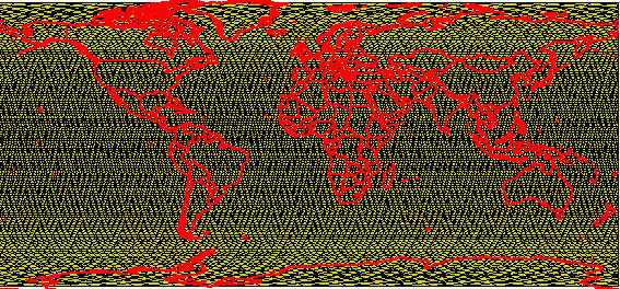
There is a typical task to find out what Landsat images
are needed for the particular area. To narrow the search options and hurry
it up this Landsat path/row map can be used. Original database was cleaned
from redundant fields, if you'd like to get original untouched database,
contact me.
Some description to fields: dayclass = day in the orbit cycle (1-16)
sequence = "chronological" number assigned to each path/row
(starting with the 1st p/r acquired on day 1 of the orbit cycle)
mode = D for descending node (day scene) or A for ascending node
(night
scene)
path = path (column)
row = row
wr = combined path-row (numeric) usable for link to other catalogs
with path\row information
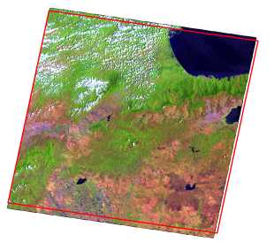
Take into account that outlines of Landsats on this map are not represent exact position and area covered by specific Landsat scene. The next examlpe shows how different usually is the actual coverage and calculated footprint from the shapefile.
Full map:
Whole world (WRS-1) |
Whole world (WRS-2) |
By region:
North America |
South America |
Eurasia |
Australia |
Africa |
Antarctica |
Обсудить в форуме Комментариев — 0
Последнее обновление: September 09 2021
Дата создания: 28.07.2002
Автор(ы): Максим Дубинин


© GIS-Lab и авторы, 2002-2021. При использовании материалов сайта, ссылка на GIS-Lab и авторов обязательна. Содержание материалов - ответственность авторов. (подробнее).